
[ssboost]
Occupying the eastern two-thirds of the island of Hispaniola, the Dominican Republic shares this land mass in the Greater Antilles, with the nation of Haiti occupying the western third. With the Atlantic Ocean to the north and the Caribbean Sea to the south, the Dominican Republic, the area’s second largest nation, is separated from Puerto Rico to the east by the 70-mile wide Mona Passage. With Cuba and Jamaica located to the west, Florida’s southern tip is approximately 621 miles to the northwest of the Dominican Republic.
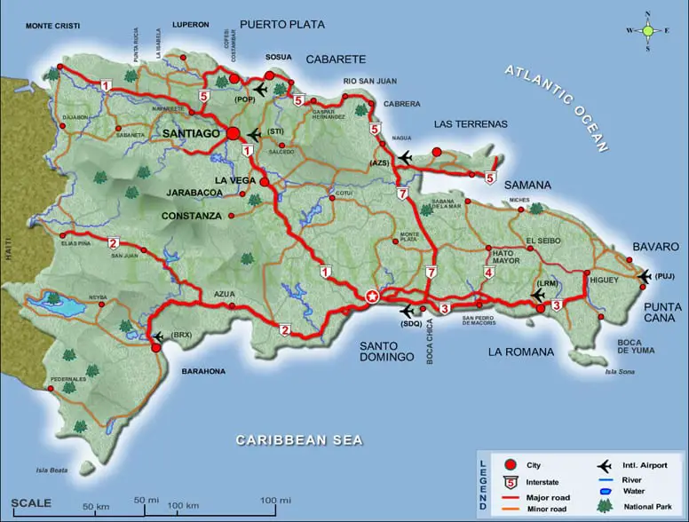
The country has a land area of 30,101 square miles and includes nearby islands Saona, Beata and Catalina. The Dominican Republic is larger than the Bahamas, Jamaica, Puerto Rico, all the Virgin Islands and the entire French West Indies combined. By comparison, this country is slightly larger than the Netherlands and is approximately the size of the states of Vermont and New Hampshire combined.
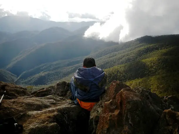
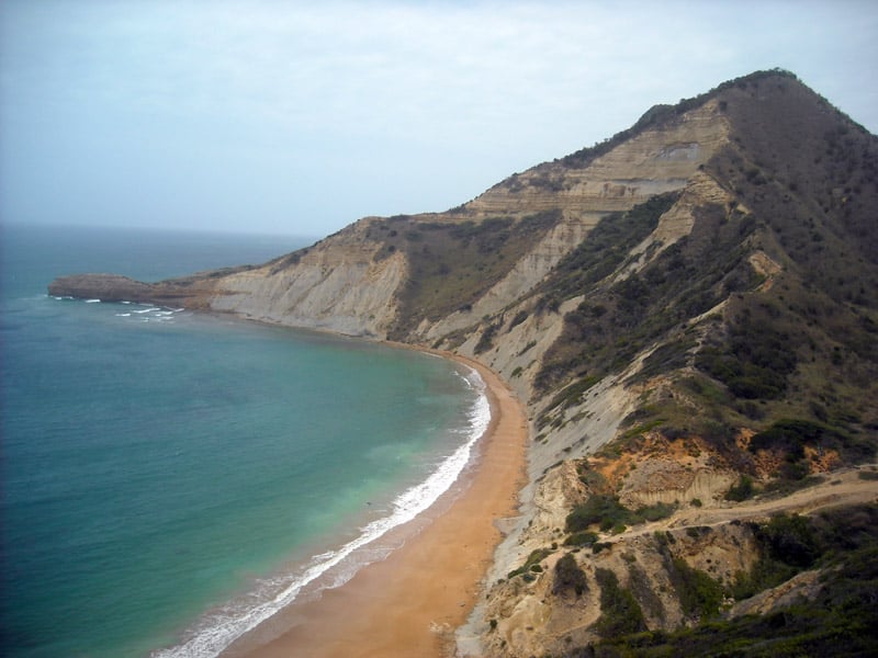
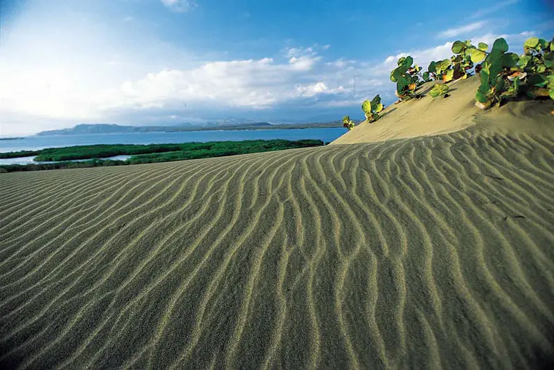
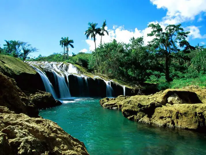
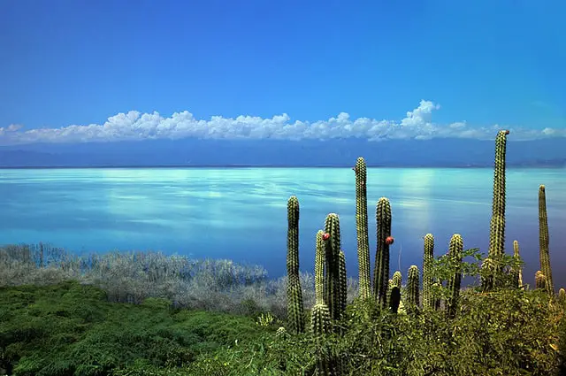
Many geographic features may be found here, including the highest mountains in the Caribbean with the Cordillera Central range that includes the Pico Duarte at 3,175 meters above sea level. Three mountain ranges, including the Cordillera Septentrional, the Sierra de Neiba and the Sierra de Bahoruco cross the country. As a land of contrasts, the country also has three large fertile valleys between the ranges, including one holding Lake Enriquillo, the lowest point in the Caribbean at 40 meters below sea level. The country also has 994 miles of coastline, including 186 miles of sand beaches.
Dominican Republic: A Land of Contrasts
The DR has the highest and lowest points in the Caribbean, beautiful beaches and awe inspiring caves; extremely hot deserts and freezing cold mountains and valleys. The national motto is accurate when it reads “Dominican Republic has it all”.


[gap height=”15px”]
[ssboost]